Добро пожаловать!
Вход или Регистрация
Профиль
Профиль
История заказов
Приобретённые товары
Список желаний
Сравнение
Русский
Eesti
English
Бренды
Бренды
×
0
0
Основные категории
Лодки
ножи
фонарики
масла
Уже в магазине
Распродажа
Хиты продаж
Kuva tooted
Victorinox
Kарманные ножи
Кухонные ножи
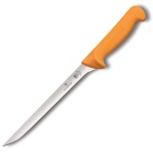
Филейные ножи
Охотничьи ножи и бушкрафт
Запчасти и снаряжение
Kuva tooted
Nitecore
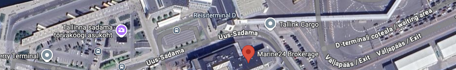
Fällkniven
Ножи с фиксированным клинком
Kарманные ножи
Kuva tooted
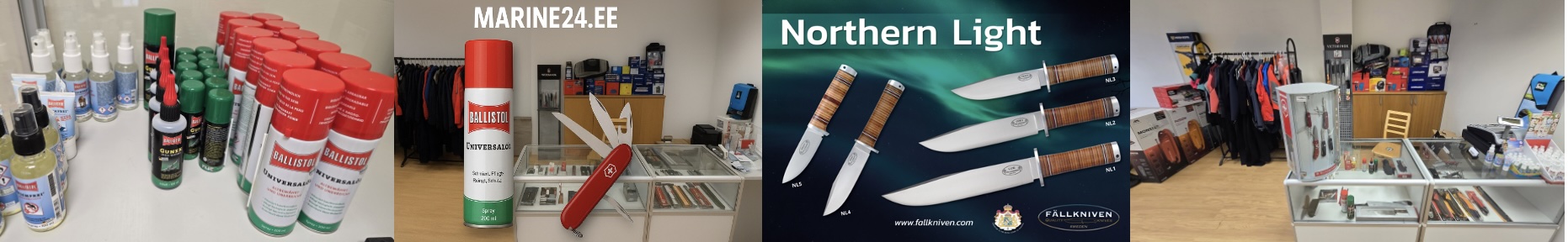
Ballistol
0
0
Добро пожаловать!
Вход или Регистрация
Профиль
Профиль
История заказов
Приобретённые товары
Список желаний
Сравнение
Русский
Eesti
English
Основные категории
Лодки
ножи
фонарики
масла
Уже в магазине
Распродажа
Хиты продаж
Victorinox
Kарманные ножи
Кухонные ножи
Филейные ножи
Охотничьи ножи и бушкрафт
Запчасти и снаряжение
Nitecore
Fällkniven
Ножи с фиксированным клинком
Kарманные ножи
Ballistol
Назад
Вперёд
Назад
Вперёд
Основные категории
больше
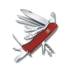
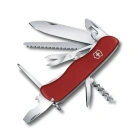
Work Champ
92,75 €
111,75 €
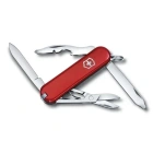
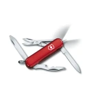
Rambler, 58 mm
27,99 €
33,73 €
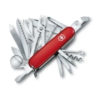
Swiss Champ, 91 mm
89,33 €
107,63 €
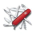
Huntsman red
37,00 €
44,58 €
Outrider
62,27 €
75,02 €
VICTORINOX NAIL CLIPPER
11,21 €
13,50 €
Скидка
больше
Work Champ
92,75 €
111,75 €
Fibrox, carving knife, 22cm, wavy
40,19 €
48,42 €
Midnite Manager, 58 mm
46,06 €
55,49 €
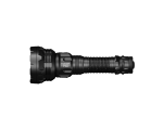
MT21C
52,00 €
65,00 €
NU25 MCT UL
36,00 €
45,00 €
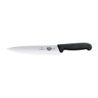
VICTORINOX SWIBO SEMIFLEXIBLE 20 CM Ф...
25,27 €
30,44 €
Новые продукты
больше
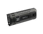
P40
316,00 €
395,00 €
MT21C
52,00 €
65,00 €
TUP2 Blue
47,20 €
59,00 €
EDC37
119,20 €
149,00 €
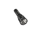
MH25 Pro
84,00 €
105,00 €
NPL35
87,60 €
109,50 €
 P40
P40